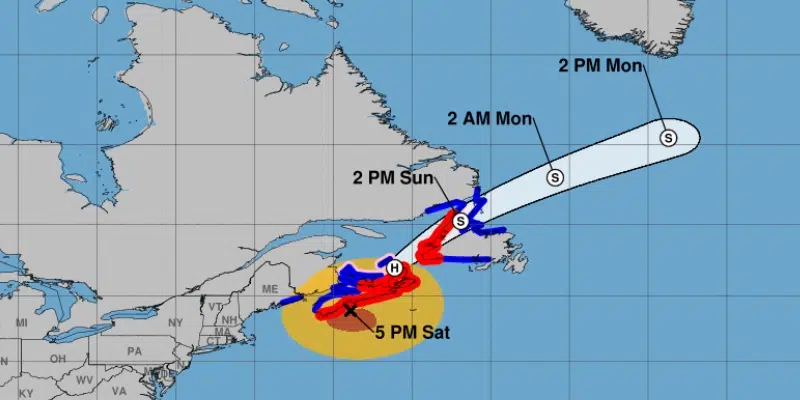
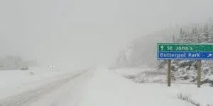
While the worst of the storm appears to be over on the eastern half of the island, the west coast is still being hit hard by what is now post tropical cyclone Dorian.
The last update from the National Hurricane Centre says that as of 5:30 this morning Dorian was still off of the province’s west coast, with winds of about 130 km/h.
David Neal, a meteorologist at the Gander Weather Office, says while it wasn’t much of a rain event for the island, the winds have been quite high. Gusts in the wreckhouse peaked last night at 147 km/h, while winds in southern Labrador were up arounnd 113 km/h this morning.
Neal says rain will pick up in Labrador later today, but for the island the main story will still be the winds.
The west coast will be seeing gusts of up to 150 km/h. Gusts between 80 km/h to 110 km/h can be expected for the rest of the island.
While the winds have been strong, so far the damage on the west coast has been minimal.
Mayor of Port aux Basques, John Spencer, says winds are still gusting to 150 km/h causing damage to roofs, siding and blowing garbage boxes in the middle of streets. However, there has been no major damage so far.
Meanwhile, the storm has been causing issues for both visitors and residents of the island alike since yesterday.
The AidaLuna cruise ship had to be tied up in St. John’s Harbour yesterday due to the storm. As well, cabin owners and campers were urged to evacuate in Stephenville yesterday as the storm quickly approached.
Just like thousands of ships have done in the past, the #AIDAluna is taking shelter from a storm in the harbour of St. John's. The vessel will remain with us until Monday. #nltraffic #Dorian #nlwx pic.twitter.com/m9OvyU4unc
— Earl Noble (@Noble41) September 8, 2019
VOCM News is tracking the effects of Dorian and will have all your up to date information as it becomes available.


