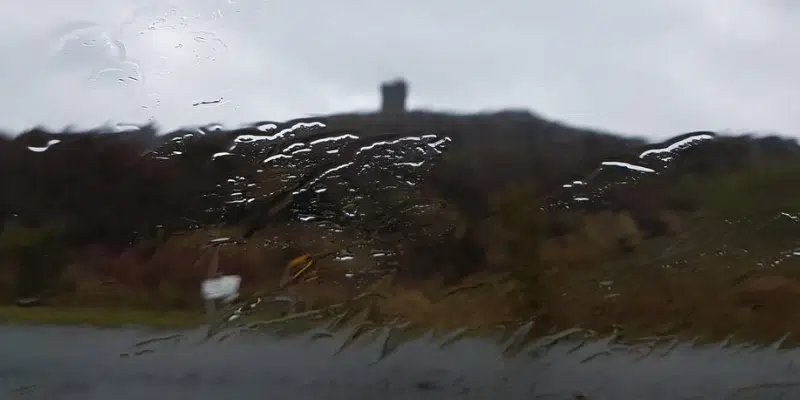
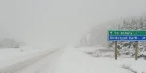
A low pressure system that brought higher-than-average temperatures to most of Newfoundland today set a record in the capital city.
Warm southerly winds pushed the mercury to 16.2° C, barely beating the existing record of 16.1°.
David Neil from the Environment Canada Gander weather office says the warm temperatures are not meant to last. A cold front will cut temperatures across the island, back to the seasonable norm.
Western Newfoundland will get a mix of rain, flurries and snow squalls tonight—the rest of the island will get showers.
Meanwhile, Labrador can expect poor visibility tonight, with strong northerly winds. Parts of eastern Labrador will get 15-35 cm of snow.
Another smaller system is expected to land on Friday night into Saturday with a mix of rain and snow for parts of the island and persistent flurries.


