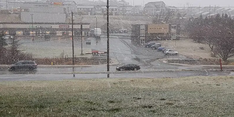
Winter is about to introduce itself to the island in a big way.
Special weather statements are in effect for the Avalon and Burin Peninsulas, as well as a snowfall warning for Clarenville.
Meteorologist Rodney Barney with the Gander Weather Office says with the wind coming in off the water, it’s going to be a sloppy morning.
Drizzle overnight will turn into wet snow between 6:00 and 7:00 just in time for the morning commute.
It won’t last long. Warming temperatures will have the snow turning back to rain around 9:00 a.m. Barney says some places could see ten centimetres or more.
He says downtown should see two to four centimetres, with five to eight as you get out to airport heights or Mount Pearl.
Once you head west into elevations such as the New Harbour or Heart’s Content barrens, you can see ten or more.