Environment Canada now has more information on the next winter storm to hit the island.
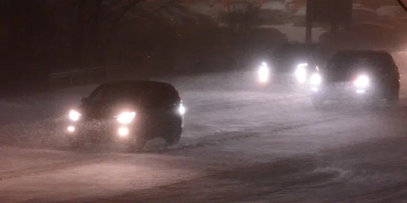
Weather warnings have been scattered across the island, as intense winds and snowfall will batter parts of Newfoundland from Wednesday into Thursday.
The Avalon, Bonavista and Burin Peninsulas will not get as much snow as originally forecast—from 5 to 10 centimetres—but the rest of the island—from Central to the West Coast—is in for about 15 to 30 centimetres.
Labrador will sit this one out.
The aggravating factor is going to be the winds. Most areas could see 100 km/h winds on Wednesday night and Thursday morning. However, the Burin, Bonavista and Avalon will feel winds gusting from 100 to 130 km/h before they subside slightly on Thursday morning.
Additionally, large waves and pounding surf are expected in Placentia and St. Mary’s Bay over Wednesday night.
Water levels may be higher than normal during that time, giving the potential for minor coastal flooding, especially near high tide.


