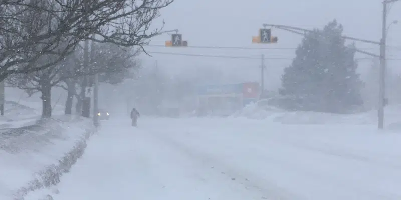
Messy weather is on the way for the island but Environment Canada says it brings some uncertainty.
Snow is expected to begin on the South Coast tonight, pushing northward through the morning.
Allison Sheppard of the Gander Weather office says areas of Eastern NL will see snow beginning early and the changeover to rain will be seen around noon. The rest of the island will see snow until the evening tomorrow.
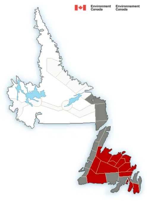
She says there have been several warnings put into effect, including snowfall and wind warnings for Burgeo, Green Bay and White Bay.
The Northeast and Central areas have snowfall warnings in effect.
She says with the amount of snow pack on the Avalon, people may see some local flooding.
Sheppard explains that the 10 to 15 cm of snow will change to rain. She says it will be a significant amount of rain. As of Saturday morning, the forecast says the total is somewhere between 5 and 15 mm.
With the snow and rain, also comes high winds. She says for the southern Avalon, winds could see gusts of 100, especially along the coast and the winds will continue to increase on the Northern Avalon. Sheppard notes that they will gust into tomorrow evening.
Sheppard says that there is a lot of uncertainty with the forecast of the system and that it is important to continuously check up on the forecast.


