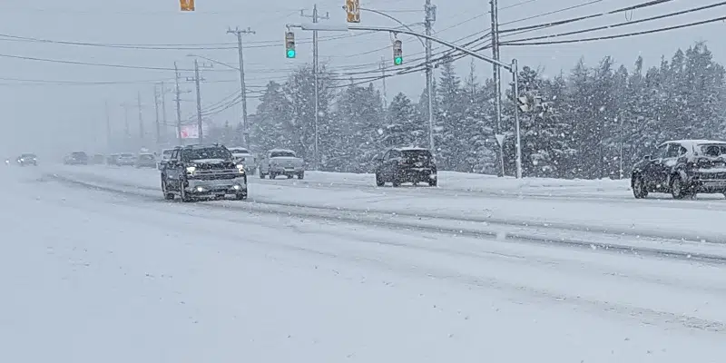
Get your shovels out—Environment Canada is warning of the first winter storm of the season expected to hit the province’s east coast on Thursday.
Environment Canada has a special weather statement in effect for Thursday with a possible 25 to 35 cm of snow, or more, falling over the area with wind gusts of 90 to 110 km/h or possibly higher.
Meteorologist Wanda Batten says it’s a battle of figuring out where the track of the system will be, but as it looks right now, parts of the Avalon will change over to rain in the afternoon on Thursday, while areas west of the Avalon will see mostly snow.
Batten says she is also highly concerned with the backside of this system. She explains that as of Thursday night, very strong north and northwesterly winds are going to pick up that are stronger than normal and could be potentially damaging.
She says right now, it looks like minimum gusts will be up around 110 km/h.
Batten advises the public to be prepared for a “good winter storm.”
Conditions are expected to improve by Friday morning. Batten says the snow will likely melt away over the weekend with another warm system coming through Saturday, similar to today’s forecast.