Another weather system is forecast for most parts of the island and it’s bringing a messy and miserable mix of precipitation.
A “big long trough” is setting up across the province according to Environment Canada meteorologist Justin Boudreau, with the west coast already seeing a mix of snow and rain.
The trough will move eastward to lie over the southeast portion of the province by morning, with the showers and flurries turning to “more rain than snow.”
About 5 cm of snow is forecast for tonight for areas where the precipitation will remain snow, and about 5-10 mm tonight for areas where it turns to rain.
The rain and snow will continue tomorrow which is “when the real problems begin,” says Boudreau.
He says a triangle-shaped portion of the province from Burgeo to St. John’s and Cape Freels will see a prolonged period of freezing rain.
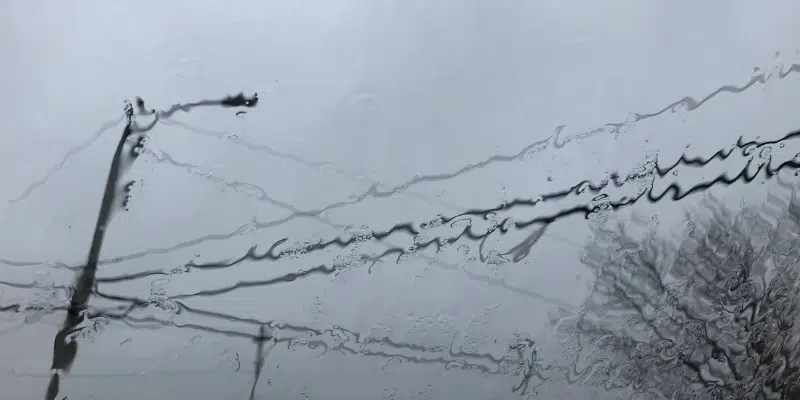
He says that will result in 25 to perhaps more than 50 mm of freezing rain, which could result in the icing of roads, trees and power lines.
The southeast portion of the island including the Burin Peninsula, Clarenville and the Avalon meanwhile will see continued rain of between 50 to 80 mm and as much as 100 mm on the Burin Peninsula and southern Avalon, which will be significant, with a strong possibility of more flooding and washouts.
Combine with that a long period of snow for areas northwest of the rain.
There is the possibility of 30 to 50 and perhaps as much as 60 cm of snow in central and northeastern Newfoundland by Sunday morning, according to Boudreau.
Earlier Story
More heavy rain is forecast for the eastern portion of the island prompting warnings of more possible flooding and road washouts.
A special weather statement has been issued for southeastern Newfoundland, with a system coming through tonight and lasting until Saturday, bringing heavy rain mixed with freezing rain and ice pellets.
The southern Avalon and Burin Peninsula are forecast to receive more than 100 mm of rain, possibly reaching 150 mm by the end of the weekend, which is of concern with the flooding experienced last weekend. That rainfall warning is expected to be extended to the Metro region.
Meteorologist with the Gander Weather Office Mike Vandenberg says it’s not clear where the transition from rain to freezing rain will take place.
He says the line will be “razor-thin”, meaning anywhere will get a significant amount of ice pellets, and anywhere south will get heavy rain. Wherever the line sets up, it’s going to dump freezing rain for up to 12 hours according to Vandenberg.
He’s urging drivers to avoid travelling on Friday if possible.
As for Clarenville and points west, the next couple of days will bring significant snowfall.