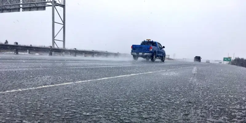
The Metro region is looking at nearly 12 hours of freezing rain as a weather system makes it’s way across the Eastern half of the island.
15 to 30 mm of freezing rain and ice pellets is expected to start this morning, and extend into the evening, which could lead to buildup on powerlines causing outages on the Avalon, Burin, and Connaigre Peninsulas
However, the ice won’t stick around for long, as temperatures are set to rise to around plus seven in the evening, dumping 40 to 60 mm on the Metro region tomorrow.
Meteorologist with the Gander Weather Office, Rob Carroll, says that’s troubling news for some areas.
He says that will add to water levels, as the ice will generate heavy run-off increasing the risk of flooding. There will be no reprieve until skies clear on Sunday.
Meanwhile, the southern shore and southern Burin Peninsula are expected to get up to 50 to 100 mm of rain, and Clarenville is looking at 10 to 20 cm of snow with freezing rain coming tonight.
A winter storm warning is in effect for Gander and Grand Falls-Windsor, they may see anywhere from 45 to 75 cm of snow continuing through the weekend.
Corner Brook and Deer Lake areas will see 15 to 30 cm of snow through tonight, while Port aux Basques may see up to 40 cm overnight and into Saturday morning.