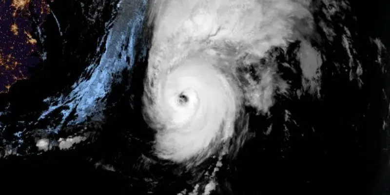
Officials are calling Fiona a historic and extreme event.
Canadian Hurricane Centre meteorologist Bob Robichaud says powerful sustained winds, heavy rain and dangerous storm surge will impact the province’s south coast.
On the southwest coast sustained winds of over 100 km/h, gusting as high as 140 km/h, and in the range of 170 km/h in the Wreckhouse, could last as long as eight hours before gradually easing.
Waves especially will be significant with a storm surge of up to 10 to 12 metres — or 40 feet.
Landfall is imminent with Post-tropical #Fiona just off of the eastern coast of Guysborough County in Nova Scotia.
The 3AM ADT details are here: https://t.co/QURfkCQp7W pic.twitter.com/318jsCDrgH
— ECCC Canadian Hurricane Centre (@ECCC_CHC) September 24, 2022
Fiona’s impact is a concern to a number of south and western-facing communities, some of which are still recovering from damage to infrastructure caused in previous storms.
That is true in Port aux Basques which saw significant flooding and washouts from heavy rainfall last fall, Stephenville which saw damage to infrastructure last year, and communities in St. Mary’s Bay which saw significant damage from storm surge when the remnants of Hurricane Larry passed through the region last year.
The town of Trepassey is especially vulnerable after the breakwater, previously damaged and weakened in Larry, was breached by storm surge from the remnants of Hurricane Earl, a storm far weaker than that hitting the island today.


