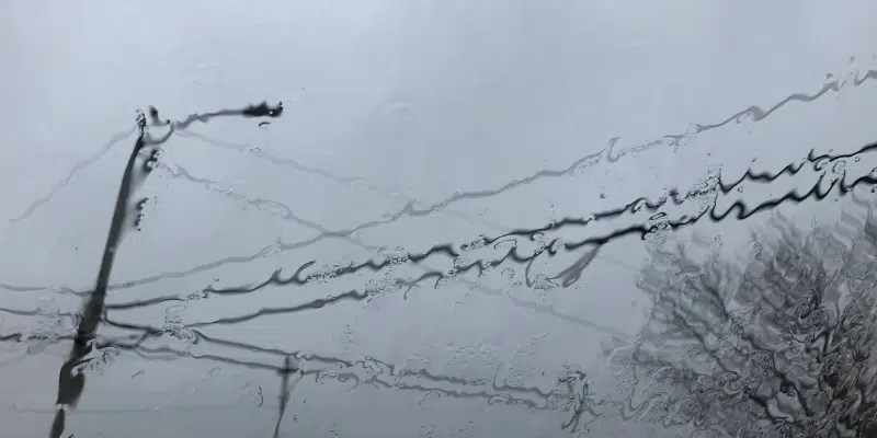
Mother Nature is ramping up for winter with the island’s first significant snowfall forecast to strike a good chunk of territory. About 15 cm is expected to come down through Saturday on the Northern Peninsula, parts of the west coast, central Newfoundland and the northeast coast. The southern half of the island, including the Avalon and the Port aux Basques area, will get lots of water.
David Neal, a meteorologist with the Gander Weather Office, says the messy weather is the result of the remnants of tropical storm Nicole merging with another system from the west.
The trick will be zeroing in on the dividing line between rain and snow. Preliminary data suggest 50 – 80mm of rain for the southern half and 15 cm of snow for the northern half.
He says the coming storm will merge with another system moving in from the west. “That’s going to be the system moving…towards Newfoundland,” says Neal.
The provincial government is monitoring the forecast closely and says the province can expect high waves and storm surge along the coast.
Municipalities are urged to review their emergency management plans to ensure that roads, ditches and drains are clear of debris.


