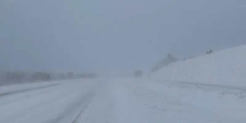
Several weather alerts are in effect as a major, messy weather system moves over the island portion of the province.
Snow starts on the west coast early this afternoon, spreading across most of the island by this evening.
Meteorologist David Neil with Environment Canada says parts of the west coast, Northern Peninsula and Baie Verte Peninsula can expect significant snowfall, about 30 cms, while the west coast could also see significant rain.
Of greatest concern is the 100 millimetres of rainfall forecast and potential for more flooding on the southwest coast, which was hard hit by Hurricane Fiona in the fall.
Neil says many areas will see changes in precipitation from heavy snowfall to freezing rain and ice pellets, which will cause hazardous driving conditions on Saturday.
He says parts of the west coast and central will see a long period of freezing rain either later tonight or tomorrow morning that will last through Saturday. That will likely cause dangerous driving conditions and a high probability of power outages.
People in central and western Newfoundland should prepare for lengthy outages, says Neil.
The weather system starts to move north on Monday, leaving scattered showers behind on the island, before moving into Labrador on Tuesday.


