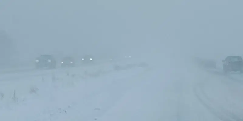
The latest snowfall forecast for the island portion of the province is starting to come into focus and it looks as though the eastern portion of the island will be spared the worst of it—but the northeast coast and central should brace themselves for “significant” accumulations.
Environment Canada meteorologist, David Neil says the system will start moving across the island Friday evening, slowly intensifying throughout the weekend.
He says many areas can expect fairly light snow through Saturday and into Sunday, with the greatest accumulations in central and west.
It will be Sunday evening before things really start to ramp up.
As the forecast models start to become clearer says Neil, it looks like the northeast coast and central will take the brunt of the storm, with “fairly significant snowfall potential” especially late Sunday, through the day Monday and even into Tuesday.
On the Avalon, there will be a period of rain before the precipitation turns back to snow making for a very messy start to the work week.


