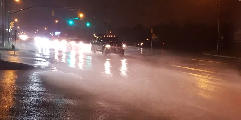
There’s some heavy weather on the way for a large chunk of the island as we head into the beginning of the work week.
The Avalon Peninsula, the east coast, the south coast from Marystown to Harbour Breton, and parts of central Newfoundland are in for a drenching after a spell of relatively dry weather. Rain begins on the Avalon this evening around suppertime and then spreads westward with amounts through tomorrow ranging from 30mm-50mm.
In the west, north and parts of central, the issue will be freezing rain beginning Monday and possibly lasting until Tuesday morning. A weather alert has been issued by Environment Canada as the temperature is going to drop to just below freezing once the winds shift around to the northeast.
Meteorologist Justin Boudreau of the Gander Weather Office says the amount of ice will be 15-30mm.
He says that’s not a crazy amount, but it will make driving tricky and will coat the trees.