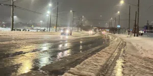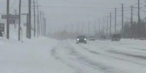
It’s going to be icy and watery on much of the island today—watery in the east and south, icy in central and the west.
Rainfall warnings are out for the Avalon Peninsula, Clarenville and Marystown to Harbour Breton in the south, where 30 or 40 mm of rain is possible through tonight. The rain started coming down in metro early last evening and will continue through tonight.
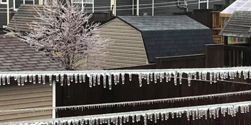
There’s also a freezing rain warning out for central Newfoundland, the west coast and parts of the northeast.
Meteorologist Justin Boudreau says once the winds shift to the northeast, the temperature will drop, leaving those regions with 15-30 mm of ice.
“It will make for slippery driving but 15mm is not a crazy amount,” he says. “30 mm will coat the trees and possibly cause some branches to break, so that could affect power lines but probably not in a big way.
The precipitation could turn to snow on the Northern Peninsula and in southeastern Labrador.
Today’s messy weather was preceded by a weekend of record-breaking spring temperatures for parts of central and eastern Newfoundland.
Meteorologist Dale Foote says yesterday’s warmer weather set a new record in Terra Nova at 18.6 degrees and 16. 2 degrees in Gander.
St. Lawrence also set a new record for Saturday with the mercury hitting just over 10 degrees.