The thunder roared and the lightning lit up the night sky on the Northeast Avalon for a couple of hours last night.
Environment Canada ended up putting out a severe thunderstorm warning due to the brief but intense system.
Meteorologist Melissa Field says the storm strengthened as it passed through the Conception Bay area late Wednesday, with the rare local storm cell fueled by humidity, high temperatures and cooling air.
Some weather stations picked up about 25 mms of rain, which prompted the warning, and in the end the metro area saw about 15 mms, just under the requirements to justify a severe warning.
According to Environment Canada meteorologist Ian Hubbard, one map showed about 1,500 lightning strikes over a region from the Burin Peninsula to St. John’s and just offshore during the storm, “That’s a pretty significant amount of lightning in a very tight and small area, particularly from one small cell that went through.”
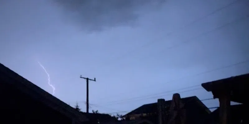
Just one of the many lightning flashes last night as seen from near #YYT. Storm was moving quickly keeping rainfall totals relatively modest:
26.8 mm (CBS);
22.1 mm (Mount Pearl);
15.6 mm (Paradise);
13.2 mm (Downtown);
10.2 mm (St. John's East);
8.0 mm (St. John's YYT).#nlwx pic.twitter.com/XkT3Og5Bqx— Rodney Barney (@rcbstormpost) July 31, 2025
There were also pockets of power outages in metro during and following the brief disturbance.
As of early Thursday afternoon, there were still about 70 people without power in the Amherst Heights area of St. John’s.