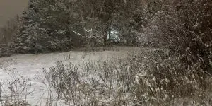
The snow is starting to come down in many areas as the island gets its first real winter storm of the season.
Schools in the metro area are closed for the day. There are also some closures in central. A full look at school statuses throughout the province can be found here.
Environment Canada meteorologist Melissa Field says the highest snowfall amounts are expected through Clarenville, Terra Nova, Harbour Breton and the Bonavista Peninsula with upwards of 40 cm.
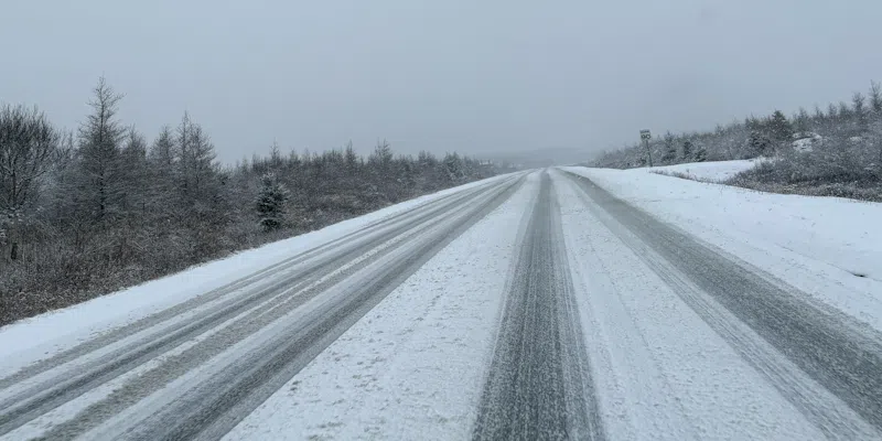
Visibility will be reduced in some areas with winds gusting as high as 100 km/h. Corporal Kurt Russell of the RCMP says drivers need to adjust to the road conditions.
Listen: Full conversation with RCMP Cpl. Kurt Russell on Your VOCM Mornings
Winds are expected to pick up in those areas later this afternoon and will remain steady throughout the evening before dying down overnight.
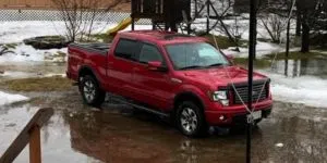
About 10 – 15 cm of snow is forecast for the Avalon and Burin peninsulas this morning before changing to heavy rain this afternoon and back to snow later this evening.
The rain/ice pellet mix this afternoon will transition to flurries this evening and then taper off overnight.
Listen: Full conversation with Environment Canada meteorologist Melissa Field on Your VOCM Mornings
The Gulf ferries are tied up. There are some cancellations over at St. John’s International.
A list of cancellations and delays can be found by visiting the VOCM Storm Watch Page.