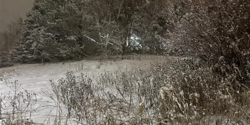
Many people had to dig out this morning after a fast-moving system dumped a bit more snow on the eastern portion of the island than originally forecast.
St. John’s International recorded 15 cm of snow, while central and eastern Newfoundland saw amounts that were closer to 20 cm in some areas.
Environment Canada meteorologist David Neil says the snow came in two waves and fell fairly quickly, making yesterday’s evening commute especially tricky.
In the meantime, Neil says today’s cold temperatures make way for a warming trend later this week.
He says the next system will bring a more southerly flow as it passes over the Maritimes and across the island Thursday into Thursday evening.
How widespread that warming trend will be is still not clear, but rainfall is possible across much of the island, with the possibility of snowfall on the Northern Peninsula.
“Some amount of rain” is expected says Neil, “and some milder temperatures.” He says they’re keeping a close eye on possibly rainfall amounts and the impact that will have on the snow that’s accumulated over the last few weeks.


