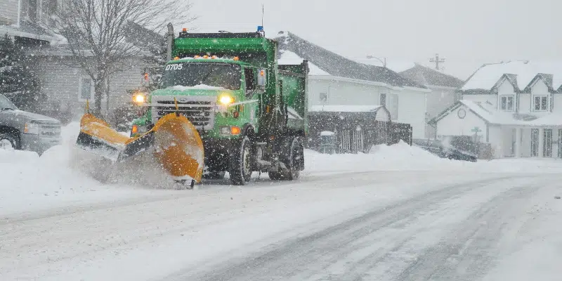
Environment Canada says a system moving into the Avalon Peninsula region this evening has the potential to be a “significant snowfall event” especially for the St. John’s region.
Meteorologist David Neil says the entire east coast of the island will feel the effects of the storm.
Winter storm warnings are in effect for the Avalon and Bonavista peninsulas, along with the Clarenville area. A snowfall warning is in place for the Burin Peninsula, while a blowing snow advisory is in place for the Terra Nova National Park area.
Snowfall will start this evening, picking up by mid-evening in the metro region.
Winds will increase overnight and continue through the day tomorrow, creating blowing snow and whiteout conditions.
Neil says things will gradually improve Saturday night in western regions, and Sunday morning on the Avalon.
Total snowfall amounts are forecast in the 35 to 50 cm range with St. John’s in the storm’s bullseye.
He says the greatest amounts will fall in higher elevations and could exceed 50 cm.
Amounts will be on the lower side for the western Avalon, Clarenville areas, but all the latest models are trending strongly towards significant snowfall according to Neil.
Earlier Story
It’s going to be a stormy start to the weekend in eastern Newfoundland with what will likely be the heaviest snowfall for the region so far this winter season.
The Burin Peninsula, southern Avalon, western Avalon and Clarenville are in for about 20 cm overnight and Saturday but the bulk of the Avalon, including metro, is in for a rough one: 30 cms for most but 45 cms for higher elevations.
It should be a normal commute home this afternoon but snow begins just after supper before ramping up around midnight.
Meteorologist David Neal says the snow will continue through the night Saturday but Sunday looks good.
Snow will be heavy at times overnight and through a good portion of Saturday.
Neal says the snow will have moisture which means it will be heavier to shovel and move than the lighter, fluffy stuff.
Temperatures will be around the zero mark so the snow will be of the heavier variety. And there will be some drifting because of the high winds.


