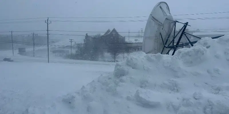
The first significant snowfall of the year is making its way out of the Avalon, leaving behind quite the mess to clean up.
Environment Canada meteorologist Brendan Sawchuk says the snowfall amounts were on par with predictions.
The Metro area saw about 40 – 50 cm of snow, while someone in Mount Pearl had recorded 55 cm as of 1:30 Sunday morning.
1:30am radar: Snow beginning to ease for the western half of the Avalon. Light-moderate snow continues for the northeast Avalon.
1:30am snowfall totals:
St. John's Airport #YYT: 43cm (+1cm)
St. John's east: 48.3cm (+1.7cm)#NLwx pic.twitter.com/5Tyb1aELOo— Kelly Butt (@kellymbutt) January 22, 2023
Sawchuk says the storm was at its heaviest on Saturday afternoon with winds picking up and about 4 cm coming down an hour. The peak of the storm caused blowing snow intense enough to pull plows off the roads on a number of highways.
The system is on its way out, but a few flurries are expected to linger until early Sunday afternoon. Sawchuk suggests holding off on the clean-up if possible.
Winds are expected to ease off in the afternoon, creating better conditions for outdoor activity.


