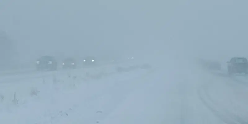
It’s going to be a stormy Friday afternoon and night in eastern areas of the island with the Avalon Peninsula expected to be hardest hit.
A low south of the Grand Banks will deliver snow and high winds to Eastern Newfoundland starting just before lunchtime.
Ian Hubbard, a meteorologist with Environment Canada, says even Saturday will be blustery as the winds will remain high, picking up significantly late afternoon Friday.
Hubbard says central and western portions of the island will escape the wrath of the snowy system.
The Burin Peninsula, Clarenville-Bonavista area and the Avalon will be the target zone. It’s going to be a stormy Friday afternoon and night in eastern areas of the island with the Avalon Peninsula expected to be hardest hit.