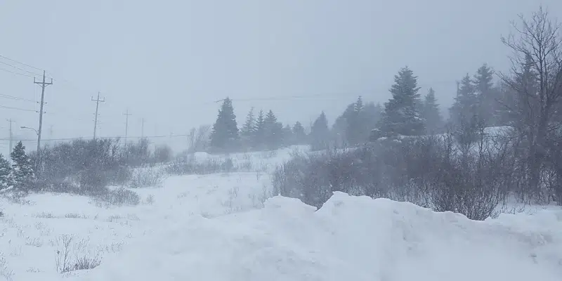
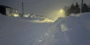
St. John’s is in the cross hairs of a significant winter storm bearing down on the island for Friday.
Environment Canada Meteorologist David Neil says the different forecast models are coming together, with the highest snowfall amounts expected on the Avalon Peninsula.
The forecast is showing the snow will move it a bit later than previous models, with snow starting in the early morning hours and moving across the Avalon through the morning.
The Avalon, and Burin Peninsula, as well as the northeast coast and central can expect significant snowfall ranging from 30 cm to in excess of 40 cm—the Avalon Peninsula will see the brunt of the snowfall amounts.
Neil says 30 cm is at the very low end of the scale in terms of accumulation, blown around by very high winds.
Winds will strengthen through the morning, shifting to northerlies gusting in excess of 100 km/h with blowing snow and heavy drifting.
The east and northeast coasts will also see a significant storm surge.
Conception, Trinity and Bonavista bays will see potentially damaging storm surges, especially during high tide on Friday and Saturday. Environment Canada says storm surge paired with high winds could result in 7 to 10-metre waves, and that flooding and infrastructure damage is possible in affected areas.


