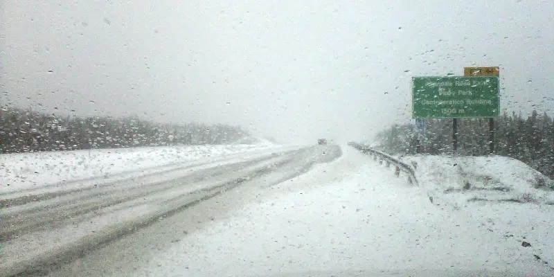
The snow has turned to freezing drizzle in parts of the east, including the metro region, but not before some 15 cm fell in St. John’s.
The freezing rain in the south will spread to the rest of the Avalon by late afternoon and continue until about midnight. That amount of ice could mean power outages.
Rodney Barney, a meteorologist with the Gander Weather Office, says the ice will turn to rain overnight but temperatures on Saturday drop to below freezing with high winds.
Gusts will be about 110 km/h on the Avalon and perhaps up to 130 km/h in the south. That means storm surge of 7 to 11 metres in the south.
Central Newfoundland is in for about 25 cm of snow while the west coast expects closer to 35.