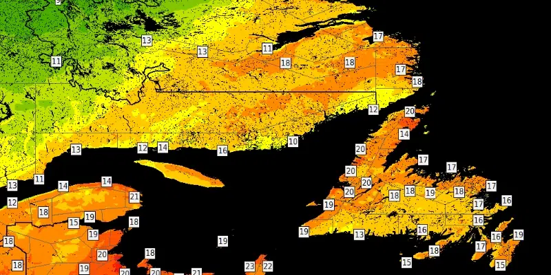
Tuesday saw record-breaking temperatures in many areas across the province, and they will continue today before taking a dip heading into next week.
Rodney Barney a meteorologist with Environment Canada’s Gander Weather Office, says the province set records at seven of their long-standing climate stations on the island, which he calls remarkable for this time of year.
Our Tuesday highs could easily pass for a summer's day in #NLwx. 🔥 pic.twitter.com/6WcYCVdHfW
— Rodney Barney (@rcbstormpost) September 29, 2020
The warmest spot was in the Corner Brook area where temperatures climbed up to nearly 27 degrees, Tuesday afternoon.
Today's high of 26.6°C at Deer Lake #YDF is the warmest on record this late in the season.
Previous latest date in the year to get that warm: Sep 23 (1965).
Records began in 1965. #nlwx
— Rodney Barney (@rcbstormpost) September 29, 2020
Barney says in St. John’s, temperatures on Tuesday reached 23 degrees which he claims is right around the record temp, but fell just short by about a degree. He claims that the region should be flirting with that threshold again today.
However, Barney says it will be warm for the remainder of the week, but as we move into next week there will be a break in the humidity and temperatures will begin to drop off.
He says it’ll be Sunday before the area feels a sustained change of air mass, making it feel more like the fall as we move into the latter half of the weekend and into early next week.
Yesterday was the latest in what has been a particularly warm year. It was the 79th day above 20 degrees in Deer Lake and the 60th in St. John’s.
Today marks the 60th day in 2020 to reach 20+°C at St. John's #YYT. #nlwx pic.twitter.com/u3IvuY6R62
— Rodney Barney (@rcbstormpost) September 29, 2020