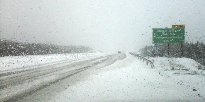
The storm system that’s dumped more than 25 cm on some areas of the province and a messy mix of rain and slush to the metro region isn’t done with the region yet.
Winds are forecast to increase, reaching up to 140 km/h in many parts of the eastern portion of the island.
Meteorologist with the Gander Weather Office, Justin Boudreau says it may be time to bring in any unsecured Christmas decorations.
He says winds above 120 or 130 km/h are potentially damaging, causing roofing or siding to come off, and the possibility of power outages.
The rain will turn back to snow for the Avalon, and the winds will whip around any snow on the ground causing reduced visibility and blizzard conditions.
It’s going to be a dirty night says Boudreau, but the snow should taper off in all areas by midnight.
In the meantime, many areas will likely see a good day tomorrow with some lingering flurries in the west and sunshine in the east.
Earlier Story
Snow continues to pile up in many areas of the island, especially on the south coast and in central and eastern Newfoundland but on the Avalon Peninsula the problem is going to be wind.
Slippery roads abound but this is going to end up being a wind event on the Avalon including metro.
Meteorologist Justin Boudreau of the Gander Weather Office says it’s going to be a wild evening with wind gusts as high as 140 km/h, similar to those experienced during Hurricane Larry a few months ago.
The heavy snowbelt appears to be eastern Newfoundland.
The Terra Nova and Glovertown areas appear to be in the bullseye, with 30 to 40 cm expected.

Meanwhile, Eastern Health has cancelled a number of services due to today’s weather forecast.
The COVID clinics in Marystown, Bonavista and Clarenville are all cancelled for the day, while the DoorWays Counselling Service in St. John’s will be offered by phone or video only today.
Patients with appointments booked for today are asked to check with their health care provider to see if it is going ahead.