High winds could be the story as a storm heads our way through the overnight hours Wednesday.
The system was originally forecast to bring snow and blowing snow to most of the island, but has shifted somewhat, meaning the bulk of the south east portion of the island will see a messy mix of rain and freezing rain.
The worst of the freezing rain is expected overnight and into the morning hours on Thursday.
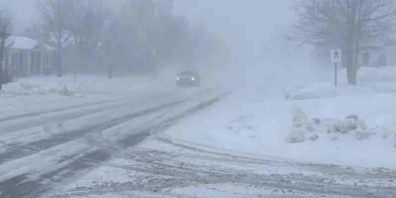
For the remainder of the island, snowfall accumulations could be in the 10-25 cm range, according to meteorologist Justin Boudreau. He says the system is still “wiggling around a fair bit” meaning the snowfall could affect the northeast portion of the island, central and western Newfoundland.
Winds could gust to 80-100 m/h with higher winds – up to 130 km/h or more in the Wreckhouse area.
The problem with this system says Boudreau, is that it will park itself over the island bringing precipitation right through Christmas. Precipitation levels won’t be as high, but the system will stay there spinning around until about Sunday. Best to “stay tuned” says Boudreau.