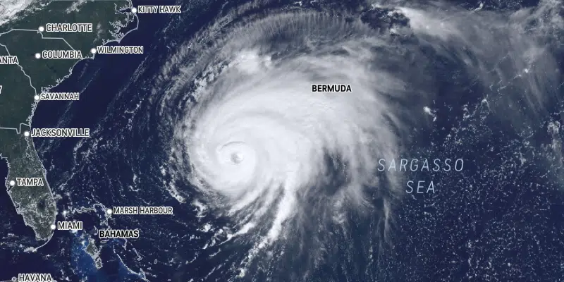
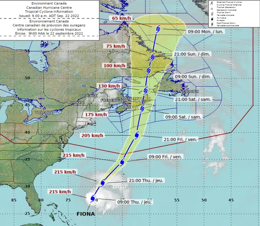
Hurricane Fiona is barreling towards Atlantic Canada, and some significant wind and rain could be coming with it.
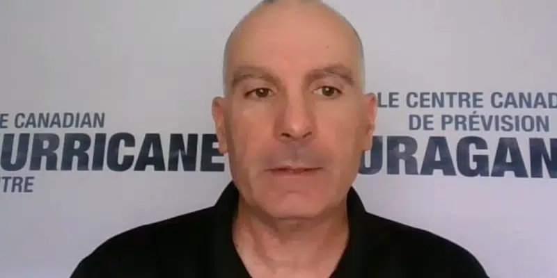
Emergency Preparedness Meteorologist with Environment Canada, Bob Robichaud provided an update on the storm earlier this afternoon.
As the storm comes up the Atlantic Ocean, Robichaud says a trough of low pressure will interact with Fiona to create a strong and dangerous system.
He says by the time it reaches Atlantic Canada, Fiona will be a post-tropical storm. However, he explains that doesn’t mean it will be any less powerful, that just means the storm’s structure will be different.
Robichaud says the southwestern part of the province will be hit hardest.
He says that area could see between 50 and 75 mm of rain, or even 100 mm depending on the track of the storm.
The winds have the potential to be very strong as well.
He says there will be an “extreme” band of winds to the right of the track. He says it is still possible that the centre of the storm will track very close to the southwest coast and if that happens the area could see winds in excess of 150 km/h.
Government Preparations
Meanwhile, Public Safety Minister John Hogan briefed media at Confederation Building over the lunch hour on preparations for the storm.
Hogan says the province’s emergency operations centre is on heightened alert with extra staff at the ready as Fiona approaches.
The minister says the centre’s alert level has increased, as has continued monitoring of the storm to keep track of its precise path.
Hogan says Premier Andrew Furey is travelling overseas and will be closely watching the fallout from afar.


