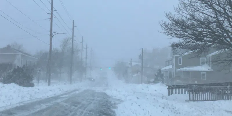
Environment Canada has upgraded that storm watch for parts of Newfoundland, including the Avalon Peninsula, and it looks like it is going to be a doozy.
The storm, which will wallop eastern and southern Newfoundland, will be spilling the white stuff and blowing it around from Sunday night to Tuesday.
The storm, which is now an orange alert, could drop 35-50 cm but to compound matters, winds will be from the northeast in the 100 km/h range all the way through.
It could turn to rain in southernmost areas.
VOCM News will have more details on the storm through the weekend.
————————–
More stormy weather is coming, but who will be affected, and how, remains to be seen.
The latest weather system is expected to affect parts of the island Sunday evening into Monday, but the exact track and whether it brings snow or rain, is something Environment Canada is still keeping an eye on.
Meteorologist Justin Boudreau says there is still a range of variability on how it will impact Newfoundland as the storm is still a few days out.
“It could be a good one” says Boudreau, but “it’s still not fully decided exactly where it’s going.”
He says as it stands, Clarenville and the northern Avalon could see the highest snowfall amounts, while it could change to rain on southeastern Avalon. Winds are expected to be high. “We’re waiting to see how far west those impacts will be” says Boudreau.