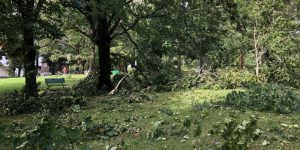



Batten down the hatches – an intense low pressure system will bring strong northwesterly winds to parts of the eastern portion of the island on Saturday.
Environment Canada meteorologist Ian Hubbard says the slow-moving system will start to intensify as it moves across the island early Saturday morning.
A special weather statement has been issued for many areas including St. John’s, the northern portion of the Avalon, the northeast coast, and Clarenville.
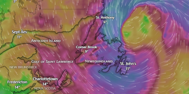
Graphic from an animation on windy.com showing forecast wind gusts at 1:00 p.m. this Saturday. Blue is in the 100 km/h range.
“Those winds are going to pick up from the northwest starting during the overnight hours Friday night into Saturday morning and persist for part of the day on Saturday.”
Hubbard says the highest gusts could reach 100-110 km/h for parts of the east coast and northeast coast.
Hubbard says there is a possibility for damage because the trees are still full of leaves.
He says in another month or so when the leaves are gone, the possibility of damage would be reduced. As of now the possibility of broken branches is high.
Residents are being encouraged to take in their lawn furniture and other loose items and to take down hanging baskets.
Hubbard says storm surge is not expected to be a factor because the winds will be blowing off the land.
Planes and boats could be affected, so travelers are being reminded to keep an eye on flight and ferry schedules.