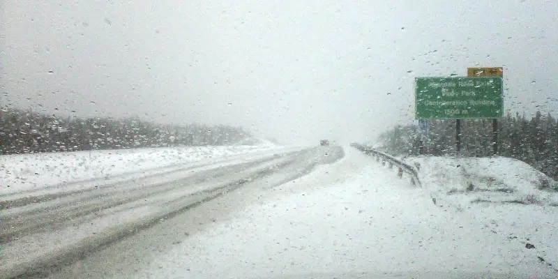
It’s shaping up to be a decent weekend weather wise, but that might not be the case early into the work week.
Things will start to pick up on Sunday afternoon with rain and snow in the forecast that will linger into Monday morning.
Environment Canada meteorologist Mike Vandenberg says rain won’t be a huge factor with about 25 mm expected for the east coast over the course of several days. They are keeping an eye on the possibility of some significant snowfall for Tuesday.
While it’s early, there is a chance that areas from Bonavista to metro could see anywhere from 15 – 25 cm starting around lunchtime and heading into the evening.
While the Avalon will be switching back and forth from rain to snow, the white stuff will be the primary source of precipitation for the rest of the island.
Snow and wind has prompted special weather statements for central, west coast, and the southwest coast which could see anywhere from 30 – 50 cm of snow spread out over the next few days.
The weather was also being blamed for cancellation of Marine Atlantic ferry crossings Saturday night.
That includes the 11:15 departure from North Sydney to Port aux Basques, and the 11:30 crossing from Port aux Basques to North Sydney.
Anyone with reservations will be contacted and re-booked on the first available sailing.


