The Canadian Hurricane Centre says Ernesto is expected to track east of Newfoundland by the time the storm approaches the Atlantic region on Monday.
The forecasting service says southeastern Newfoundland may receive some rain later that day and a good chance of strong winds with high seas ahead of the system over the weekend.
They say while not yet clear, the waves combined with the possibility of storm surge, may cause some coastal flooding along southwest-facing shorelines in the Burin and Avalon regions.
But all forecasters note it’s still early to say how significant the storm will be.

(Latest track of hurricane courtesy Canadian Hurricane Centre.)
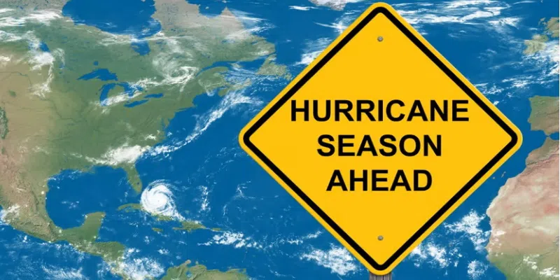
Meanwhile, a meteorologist and university professor says hurricanes in Atlantic Canada are becoming a “more common trend” that’s being fuelled by a warming climate.
Athena Masson, who’s based in Florida but completed some of her education in this province, says scientists are studying several factors that contribute to an increased number of hurricanes, including warmer temperatures.
She says such storms need a combination of heat and water vapor, and that’s what has been happening for several years now.
Masson says they also look at different weather cycles, noting there are positive phases where surface temperatures of the water warm, and negative ones where they cool down, with each phase generally lasting 20 to 30 years.
The latest positive cycle began in 1995, she says, and should have ended by now.
But Masson says experts are still seeing warm surface temperatures.
“It may be to the point that we are past the point of no return,” Masson says.
She says that could mean current conditions are the new norm, resulting in more impacts from hurricanes for the Atlantic region.