Environment Canada is still compiling the numbers, but peak gusts from last night’s storm reached as high as 140 km/h at Bonavista and Sagona Island, while St. John’s airport recorded peak gusts of 137 km/h.
Reports that are still in the process of being verified showed that some areas of the east and northeast coasts may even have seen wind gusts as high as 150 km/h or more.
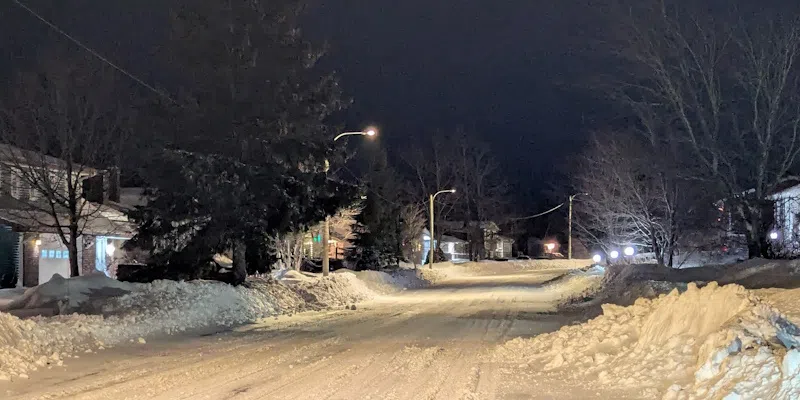
Many areas also saw heavy snowfall with 35 cm recorded in Gander and 20 cm in Deer Lake, and as much as 45 cm on the Baie Verte Peninsula.
For the Avalon, between 18 and 35 mm of rain fell overnight, bookended by snow.
Environment Canada meteorologist David Neil says a number of factors helped to fuel the intensity of last night’s storm, including extremely cold weather in mainland Canada.
He says it’s not unusual to see these types of storms in December when the continent cools and sea surface temperatures are still relatively warm.
In the meantime, another intense system is in the forecast for late this week affecting a portion of the island and parts of Labrador, and bringing some milder temperatures.
Some wind numbers last night.
St. John’s #YYT 137 km/h — new highest since Hurricane Larry (145 km/h, Sep 10, 2021).
Also:
· Powels Head (Trepassey) clocked 174 km/h, but edge-of-cliff siting may over-enhance.
· Hebron Oil Platform (elevated anemometer) hit 172 km/h.#nlwx pic.twitter.com/asvQcDvdZH— Rodney Barney (@rcbstormpost) December 16, 2025