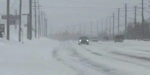
Airlines have issued travel advisories in and out of Newfoundland as Mother Nature continues her relentless assault on the island.
The issue will be ice from Gander to the east, however from Grand Falls-Windsor to the west, heavy snow is on the way.
Snow is set to begin tomorrow morning in Eastern Newfoundland, beginning in earnest around 5 to 6 a.m. However, it will shift to freezing rain for the Avalon and Burin Peninsulas, Clarenville area, and Gander through Friday.
St. John’s-metro could see between 10 to 15 centimetres of snow fall before it shifts to freezing rain around suppertime.
Environment Canada meteorologist Rodney Barney says the ice pellets and subsequent freezing rainfall will be significant.
He indicates it’s going to be all about the ice on the Avalon, whereas in Central and Western, it’s more about the amount of snow. There is also potential for significant storm surge in southern regions.
The range of 25 to 50 mm of rain could fall over extreme southern portions of the island. As for the freezing rain, there is some uncertainty, but between 15 to 30 mm may fall over a prolonged four- to eight-hour period through the day tomorrow.
The snow and rain will be followed by high winds on the weekend, and plummeting temperatures on Saturday.
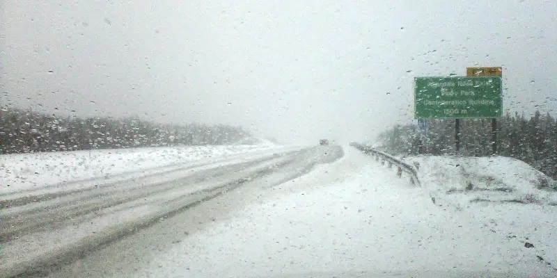
Western and Central Newfoundland will bear the brunt of snow, with 25 to 35 cm possible, according to Environment Canada. Only a small amount of that will fall during daylight hours tomorrow.
Most of it will hit around suppertime on Friday, continuing into Friday morning in the west, and into Friday afternoon in Central and the Northeast.