
The southwest coast of the island saw the worst of yesterday’s heavy rain.
The weather system was accompanied by gusty winds, causing downed limbs and some power outages in the metro region.
Burgeo recorded 102.7 mm of rain by mid-day yesterday. Millertown saw 64.7 mm, 33 mm fell on Gander and St. John’s recorded 31.
By suppertime, the rain moved off most of the island.
Rodney Barney, a meteorologist with Environment Canada, says he hasn’t seen any reports of flooding due to the system. He credits that to the mostly warm and dry summer we’ve had, which allowed the ground to soak up the majority of yesterday’s rain.
24-hr rainfall thru 3:30 pm:
102.7 mm (Burgeo);
64.7 mm (Millertown);
61.1 mm (La Scie);
48.0 mm (Blanc-Sablon #YBX);
42.6 mm (Port aux Basques);
33.0 mm (Gander #YQX);
31.8 mm (St. Lawrence);
31.0 mm (St. John's #YYT);
28.0 mm (HV-GB #YYR);
28.2 mm (Stephenville #YJT).#nlwx— Rodney Barney (@rcbstormpost) August 26, 2020
Holyrood Weather Radar Slated to Come Back Online in the Fall
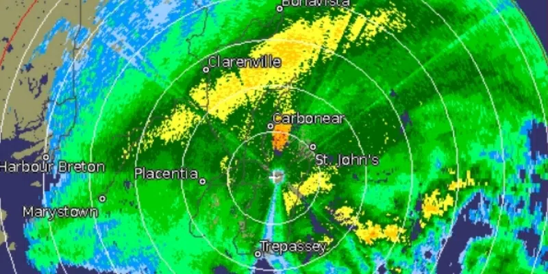
Meanwhile, it will be late September or early October before residents are once again able to track weather systems by checking the Holyrood radar.
The radar has been down for most of the year as Environment Canada conducts major upgrades to the system.
The new radar will provide meteorologists with more detailed information than was previously available.
Meteorologist Julianna Paul of the Gander Weather Office says in the meantime, they’ve been relying on other tools like satellite images and model data to create their forecasts.
The problem with that says Paul, is that those tools are less accurate when it comes to more localized systems.
She says smaller systems like a thunderstorm, can be unexpected. For that they’ve had to rely on reports from people on the ground through social media.