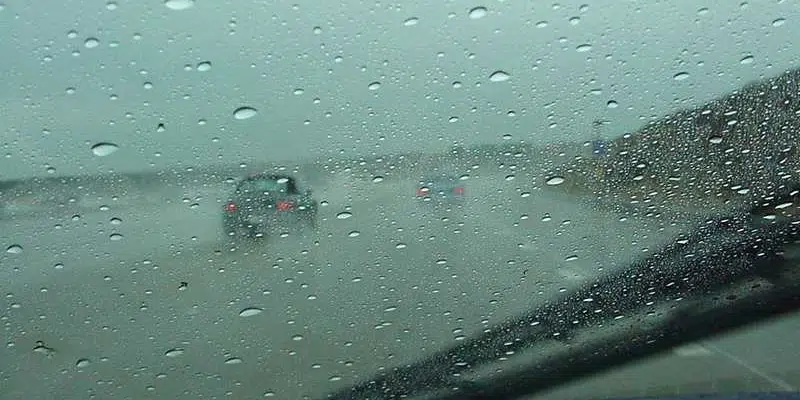
A messy, mixed bag of weather is making its way across the island this morning.
Meteorologist with Environment Canada’s Gander Weather Office, Brendan Sawchuck says snowfall-wise, only a couple of centimetres will fall in the St. John’s-metro region, and the worst conditions will be felt early this morning before the system moves further north.
Then it will start to warm up, and the snow will transition to freezing rain and ice pellets, before transitioning to rain late this morning.
Sawchuck expects some 10-20 mm of rain for the area and adds that it’ll be mostly rain for the entire island, excluding the Northern Peninsula.
Clarenville will see a bit more snowfall, but less rain (5-10 mm).
However, there are wind warnings out for much of the island.
Sawchuck says it will be a windy day along the coasts with gusts of 100 km/h up to 110 km/h. As the system moves out later this evening, the winds will start to die off.
The Burin Peninsula, he says is done with the snow for today, but can also expect some freezing rain before the heavy rains pick up late this morning.
Sawchuck says some 20-30 mm is expected to fall, which is significant for February.
As for freezing conditions, Sawchuck explains it should be pretty quick as the transition to rain will happen fast with a forecasted high of 8 degrees, just two off the daily record of 10 degrees.
Thursday still won’t be the nicest day to enjoy outdoors, but Sawchuck says it will certainly be an improvement.
School Information Status Report
Meanwhile, Labrador is feeling the effects of the storm, but the weather will be much more consistent in the Bigland.
Today will mostly be a snow event for Labrador as winter storm warnings are in effect for the southeast.
Snowfall amounts could tally up around 30 cm for those areas, extending into central Labrador in the Upper Lake Melville area.
Areas as far north as Rigolet will see slightly less snow, with up to 20 cm expected.