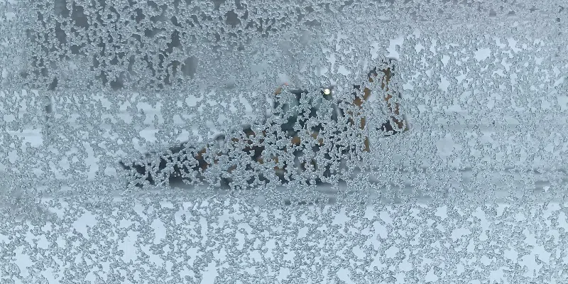
The snow continues to fall as the latest winter storm to hit parts of the province.
Environment Canada meteorologist David Neil says an extended period of ice pellets has changed back to snow in the metro region and will stay that way until the current system peters out by Saturday morning.
About 40 centimetres of snow and ice pellets is estimated to have fallen in most central/eastern areas of the island.
But Neil says the region is still on target for total snowfall in the range of 55 to 85 cms.
“We do seem to be on track to reach in that range,” says Neil, adding another 30 to 40 cms of snow is still expected to fall by Saturday morning.
High winds and lack of visibility have led the Transportation and Infrastructure of Newfoundland and Labrador to halt snow removal on certain Avalon roads. Operations will continue when conditions improve, with emergency response teams ready
Meanwhile, snow-clearing equipment has been taken off the Witless Bay Line, which is notorious for heavy drifting and whiteouts. Barricades are in place and the road is impassable due to the extreme conditions.
The City of St. John’s closed all facilities today; they’ll remain closed Saturday morning with an update expected by 11 a.m. Also, today’s cancelled garbage collection in the capital city will now take place on Sunday.
Winter-weary snow shovellers may not have a lot of time to rest after this latest dig-out.
Neil warns there’s a possibility of another storm moving in on Monday, but the jury’s still out on locations and amounts.
“Another storm seems to be on its way toward the island, even in advance of Sheila’s Brush,” he said. “It looks like it’s going to bring a mix of snow and rain to the island … but it’s still very early in the game.”


