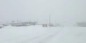
Eastern Newfoundland is bracing for significant snowfall from Sunday into Monday.
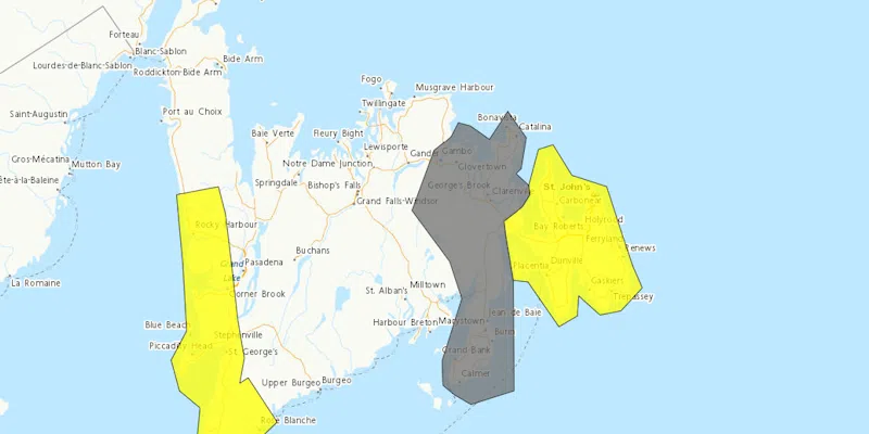
Environment Canada’s weather office says the capital city could get as much as 35cm of snow between Sunday night and Monday. Winds are expected to gust up to 100-110 km/h.
It also includes 10-20cm for parts of the south coast and Clarenville.
Rodney Barney from the Gander weather office says the snow will be at it’s worst in the overnight hours.
“At this point, gusts in the range of 110 kilometers an hour are not out of the question, so that combined with heavy snowfall is likely to produce some pretty widespread blowing snow, poor visibility, blizzard-like conditions,” he told VOCM News.
“At this point it looks like snow will be setting in during the evening hours on Sunday, so sometime after the supper hour, and then really ramping up in the overnight hours and continuing into Monday morning.
“It looks like the snow will be kind of tapering off during the afternoon on Monday, but before that happens the winds are also going to be increasing. We’re looking at some very strong northerly winds.’