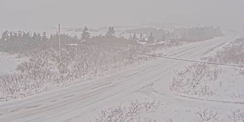
The St. John’s area and the Southern Shore are in for another full-blown storm tonight through tomorrow afternoon.
Environment Canada has issued a yellow winter storm alert, calling for 20-30 cm of snow and northeasterly winds 80-100. The heavy snow kicks in tonight but the high winds don’t materialize until overnight, continuing through tomorrow.
It looks like 10-20 cm tonight and another 10 tomorrow for those areas.
The rest of the Avalon will be in for lesser amounts but it will still be stormy.
The northeast coast of the island from Bonavista all the way to the Northern Peninsula is also in the target zone with heavy snow and high winds in the offing.
There’s also a coastal flooding statement from Environment Canada. Northern and northeastern facing coastlines from Colliers in Conception Bay to Renews-Cappahayden on the Southern Shore will experience higher-than-normal water levels with waves 5-7 metres breaking upon approach to shore. The most vulnerable time will be 10:00 tomorrow morning until noon during high tide.