



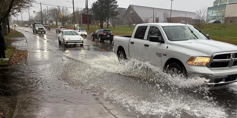
Eastern portions of the island are in for a messy start to the weekend, with Environment Canada warning of heavy rain and even snow for some areas.
Wind warnings have been issued for parts of the south coast and the Southern Avalon, with gusts forecast to reach 80 to 100 km/h, coupled with 10mm of rain.
The metro region is expected to see 10 to 20mm starting tonight and continuing through Friday night.
Meteorologist Robert Grove says the winds will change quickly in some areas, and in some cases, bring a mix of wintry weather.
“20 gusting 40 (km/h) overnight tonight and then very quickly increase tomorrow morning. They’ll be at their strongest tomorrow afternoon into the evening. With that we do have rain, and we do have falling temperatures in those northeasterlies,” he told VOCM News.
“I did issue a special weather statement as well for Clarenville, Burin, Connaigre, and the Burgeo areas. I wanted to issue that so we give a little heads up that you’re likely going to encounter winter driving conditions if you’re heading out.”
TC Info Statement from CHC on Subtropical Storm Josephine: https://t.co/wWjgED6VPu.
Mainly a marine hazard, with hurricane-force winds likely on its backside as it transitions to post-tropical. Will also help fuel a feed of moisture and gusty conditions into parts of Nfld. #nlwx https://t.co/41yECnLlgB
— Rodney Barney (@rcbstormpost) October 21, 2026