Snow is continuing to accumulate, leaving many wondering how they’re going to shovel out once all is said and done.
One St. John’s resident tweeted out showing the place where his two cars once were, completely covered by snow, while many photos and videos have surfaced of snow drifts stacked up against home and garage doors.
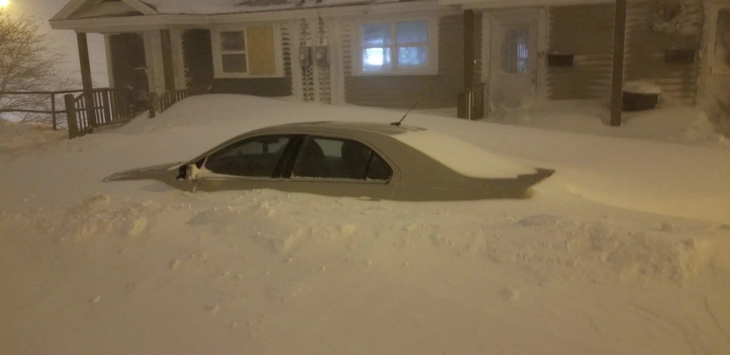
(Photo courtesy Michael Royle.)
The storm system is not expected to let up until sometime tomorrow.
Satellite images of the blizzard have been widely shared showing the island completely obscured by a massive storm system.
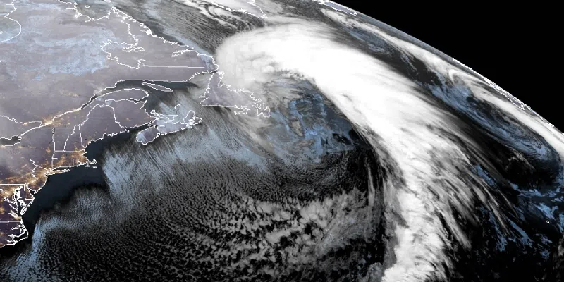
(Satellite image via RAMMB / CIRA.)
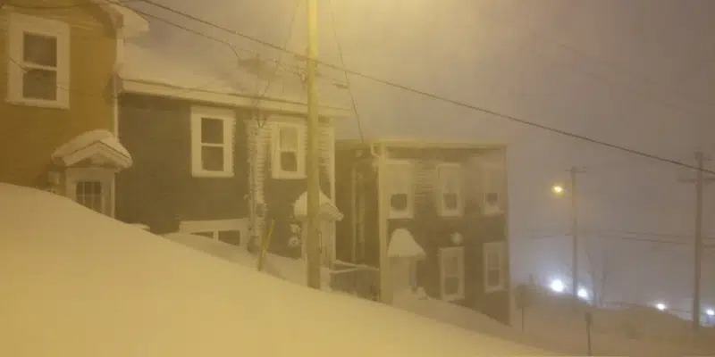
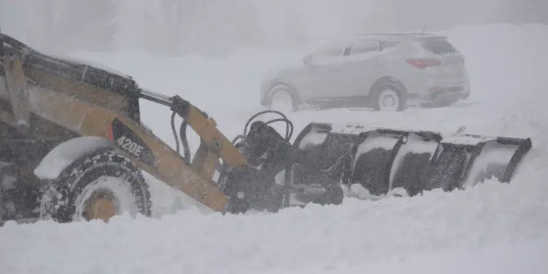
Eastern Newfoundland has largely come to a standstill as the storm of a generation whips through, dumping what is forecast to be around 70 cm of snow.
Throw in hurricane-force winds, and it makes for a situation that is crippling the region. Very little is moving and plows are being taken off the roads as visibility is, at time, nil.
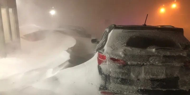
(Photo courtesy Michael Royle.)
St. John’s, Mount Pearl, and Paradise are among communities which have suspended their snowclearing in the early evening due to hazardous conditions on the Avalon.
Snowplow operators are placed at locations throughout the region in order to assist in the case of an emergency.
Peak gusts are picking up throughout the island, with no relief until the early morning hours.
Meteorologist Rodney Barney says as of 5:30 Friday afternoon peak gusts reached 167 km/h at Green Island in Fortune Bay and 157 km/h in Bonavista.
Gusts of 156 km/h were recorded in Heart’s Delight, and 119 km/h the East White Hills of St. John’s.
Update: some peak winds (km/h) thru 5:30 pm:
167 (Green I, Fortune Bay);
157 (Bonavista);
156 (Heart's Delight);
150 (Cape Bonavista);
146 (Cape Pine);
146 (Grates Cove);
127 (Green I, Trinity Bay);
126 (Pass Island);
119 (St John's – E White Hills);
116 (Allan's Island).#nlwx— Rodney Barney (@rcbstormpost) January 17, 2020