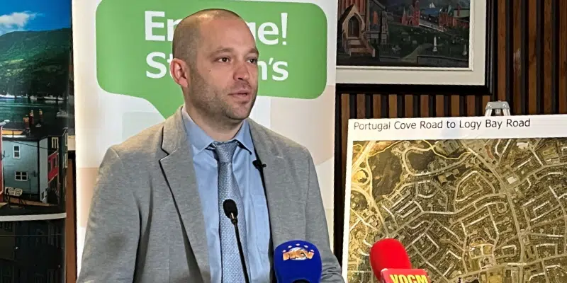
The City of St. John’s has unveiled its $20 million master plan for shared use trails linking the network from east to west and north to south.
It includes a major change to a section of Elizabeth Avenue, a major east to west connecting route. A three-metre paved trail will be installed on the university side of the street from Allendale to Paton Street.
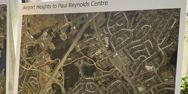
Other projects include a paved route from Airport Heights to the Paul Reynolds Centre via Torbay Road and Penney Crescent, a connection along Columbus Drive from Canada Drive and across Waterford Bridge Road to connect to the T’Railway in Bowring Park, and a paved trail from Logy Bay Road to Portugal Cove Road through Tupper Laurier Park. A section of Kelly’s Brook Path is also going to be paved.
Councillor Ian Froude says the 10 kilometres of trails announced today will result in an active transportation network that is accessible to all ages and abilities, eventually linking Paradise to Quidi Vidi.
All non-motorized forms of travel are acceptable.
The city puts up about $4 million while the federal and provincial governments provide the rest.
There is still opportunity for public input as not all the plans are carved in stone. Public sessions are planned for June 20, 21 and 22. Details can be found on the Engage St. John’s website.