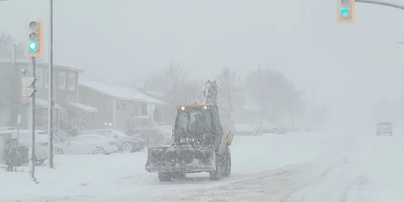
Frosty The Snowman is loving it but perhaps not everyone. The Christmas one-two weather punch continues tonight with snow beginning on the Avalon Peninsula, then the east coast and parts of central. It will be Saturday morning before it hits the northern Peninsula and Saturday afternoon before it says hello to Labrador.
It’s similar to the system yesterday with 15-20 cm of fresh snow to come, however winds will be higher – in the 80-90 km/h range for most and maybe even 100kmh on the Northern Peninsula.
Hailey Wigmore, a meteorologist at the Gander Weather Office, says it also resembles the Christmas Day pattern of east to west.
She says Boxing Day itself will be pleasant but snow starts in the east tonight and gradually moves westward.
The Avalon, Burin and Bonavista peninsulas are looking at 15 cm and possibly more, while the northeast coast could see 20-30 cm and the Northern Peninsula 10-20 cm. Parts of Labrador – Makkovik to the south – are also going to take a hit.