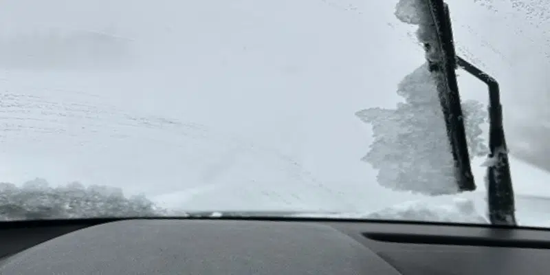
Another winter storm is bearing down on Newfoundland, specifically southern and eastern portions of the island.
Environment Canada has issued a special weather statement for the system which is expected to move in Thursday and last until Saturday morning for areas including the St. John’s metro region.
Snow is expected to begin in southern parts of the island Thursday afternoon and into the evening, before spreading north and to the east into Friday.
It’s not clear yet where the heaviest snow will fall, but the current track would put it over the Avalon and Burin peninsulas. A slight change to the north could produce ice pellets and freezing rain while further south would mean more snow.
A worst-case scenario could see some areas receive up to 50 centimetres of snow when all is said and done by Saturday morning.
VOCM News is tracking the system and will provide updates as they become available.


