Trails across the province are being mapped for accessibility.
A collaboration between the AccessNow app and TransCanada Trails has entered its third summer of accessibility mapping on trails in Newfoundland and Labrador.
The AccessNow app is a connected platform to empower people to discover a world of accessible opportunities, make better decisions and remove barriers.
This summer they are mapping a section of the T’Railway that runs 14 kilometres through Gander.
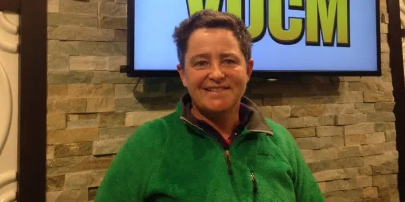
TA Loeffler, a Professor of Outdoor Recreation at Memorial University, and a guide for the mapper, says they survey if entrances and exits are accessible, if benches are present, and if there are any areas of the trail that are not accessible.
She says they’ve met with some of the communities after about what can be done to address accessibility for both short and long-term planning.