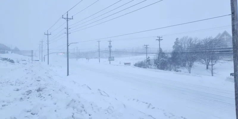
The eastern portion of the island is bracing for another blast from Old Man Winter with heavy snowfall and strong winds expected to move in in the overnight hours.
Snowfall amounts will range widely depending on where you are says Environment Canada meteorologist David Neil.
He says the heaviest amounts are expected in the St. John’s-metro region with between 25-50 cm expected by the time all is said and done.
Areas closer to the coast will see the lower amounts, while those inland and in higher elevations can expect heavier snowfall accumulations.
The snowfall is expected to start this evening and spread throughout the region overnight tonight.
The southern Avalon, Terra Nova, Clarenville and Bonavista Peninsula areas can expect less snow, but the amounts will still be fairly significant, in the range of 15-35 cm.
Winds will pick up, with gusts from the north of up to 80 km in some areas and as high as 90 to 100 along the coast.
While the brunt of the storm will pass by tomorrow evening, snowfall remains in the forecast right through to the weekend.