Precipitation levels on the southwest coast of the province are expected to continue to increase as a major storm system hits the area.
Environment Canada meteorologist Justin Boudreau says he’s never seen numbers like the precipitation levels forecast for some parts of the region before.
Rain started in the Port aux Basques area Tuesday morning with about 17.5 mm having fallen by suppertime, but the rain will start to pick up averaging about 10 to 15 mm per hour in the overnight period.
Boudreau says the rain will continue falling through to about midnight Thursday.
“We’ve got a full night and full whole day left” says Boudreau, with coastal communities in the southeast coast forecast to receive between 150 to 250 mm of rain.
The real concern however, is the amount of rain expected in the mountains just inland from the coast.
He says their guidance has been showing a “really big bulleye” up in the mountains with precipitation levels of 350 to 400 mm and possibly higher than that. The concern says Boudreau is what that will mean for coastal communities with that level of water washing down the mountain sides.

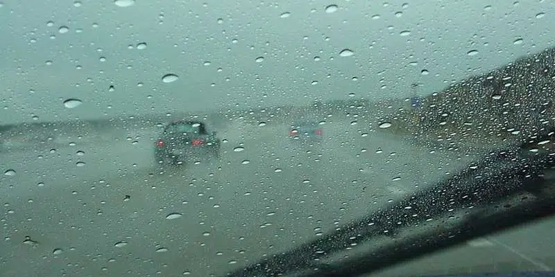
(Image via Holyrood Weather Radar.)
Winds are currently gusting to about 125 km/h in the Wreckhouse. Port aux Basques Mayor Brian Button says they are preparing as best they can.
The town will strategically place equipment in various areas of the town and warming stations are being set up in case of a power outage.
Elvis Loveless, the minister of transportation and infrastructure, represents Fortune Bay-Cape La Hune on the south coast, which is also prone to flooding. He says the department knows there will be challenges associated with this unprecedented event.
He’s encouraging people to call the department at 709-635-4144 if they see anything on the highways which requires their attention.
Marine Atlantic has cancelled all ferry crossing through tomorrow morning.
Thousands of people were left without power in Nova Scotia yesterday because of that same system.
#nltraffic #NLHwy1 Trans-Canada Highway Vicinity of Tompkins to Vicinity of Cape Ray: Wreckhouse Area Wind Warning, All traffic advised to pull over. High wind advisory – Wind gusts exceeding 100 km/h. https://t.co/ToHF8pp4yg 11:46
— NL511updates (@nl511updates) November 23, 2021
The province is also warning drivers in the Wreckhouse area to pull over due to high winds.
Winds are gusting over 100 km/h in the area from Tompkins to Cape Ray.

The provincial Emergency Operations Centre has been activated in anticipation of torrential rains forecast for the province’s southwest coast.
Emergency contingency plans are also in place with utility companies and the Western Regional Health Authority.
The Canadian Red Cross and other community groups are on standby and ready to go if needed.
Area residents are being asked to play close attention to the forecast and public safety information being relayed through officials sources.
First responders and members of the public wishing to report urgent highway conditions, or motorists looking for recent road condition information can contact the Department of Transportation and Infrastructure: